


For Business and Industry
Comprised of the St. Lawrence River, St. Lawrence Seaway and the Great Lakes, Hwy H2O is a 3,700-kilometer (2,300 mile) marine highway that runs between Canada and the United States. Hwy H2O flows directly into our commercial, industrial and agricultural heartland, home to some 100 million people, roughly one quarter of the Canada/U.S. combined population.
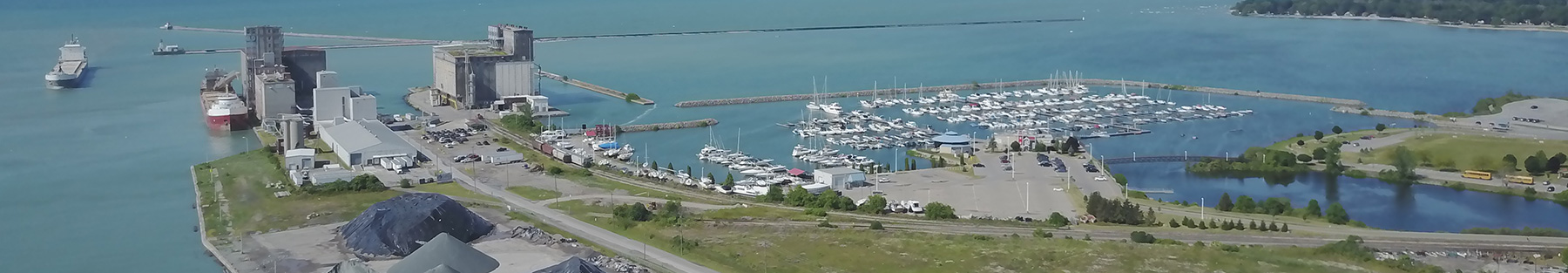
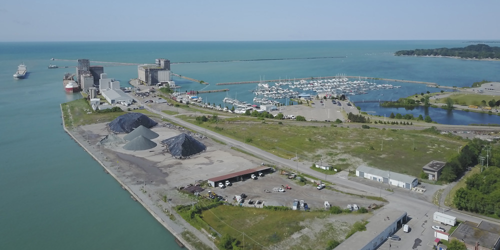
Cargo moves freely along the waterway reliably arriving at its destination on time. Some 41 ports serve as on/off ramps connecting to a vast network of roadways and rail lines providing complete door-to-door service.
Hwy H2O is strategically positioned to play a dynamic role in our world of changing markets, road congestion and clogged coastal ports.
Linking the World to the U.S. and Canadian Mid-continent
Hwy H2O begins with the St. Lawrence River connection to the Atlantic Ocean. The waterway extends into the heart of North America, with the Port of Duluth representing its most westerly access.The majority of Hwy H2O ports are closer to European markets than East Coast or Gulf ports. For instance, Montreal is closer to Rotterdam than most Eastern seaboard ports. Cleveland is closer to Hamburg than Baltimore in nautical miles.
Hwy H2O serves a region that:
- accounts for some 40% of U.S. manufacturing.
- produces two-thirds of Canada’s industrial output.
- creates more than one third of the continent’s gross national product.
- grows almost half of the soybeans and corn in the U.S.
Big Capacity, Big Economic Impact
- waterborne shipping is the mode of transport for 3/4 of the planet’s intertnational trade.
- the value of goods transported by water in North America is valued at over $300 billion annually.
- maritime commerce on Hwy H2O annually generates more than $4.3 billion in personal income, $3.4 billion in transportation-related revenue and $1.3 billion in federal, state and local taxes.