


Draught Information System
March 16, 2011
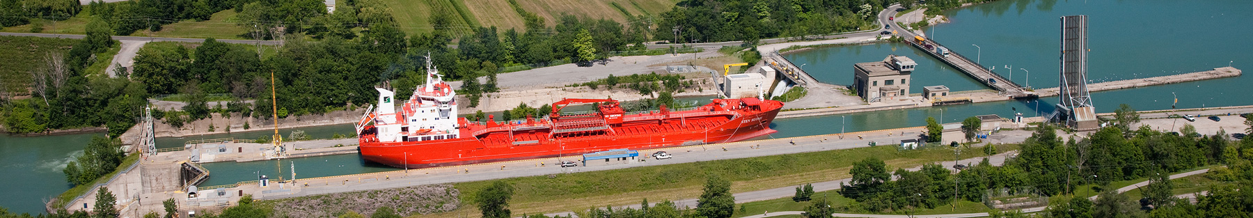
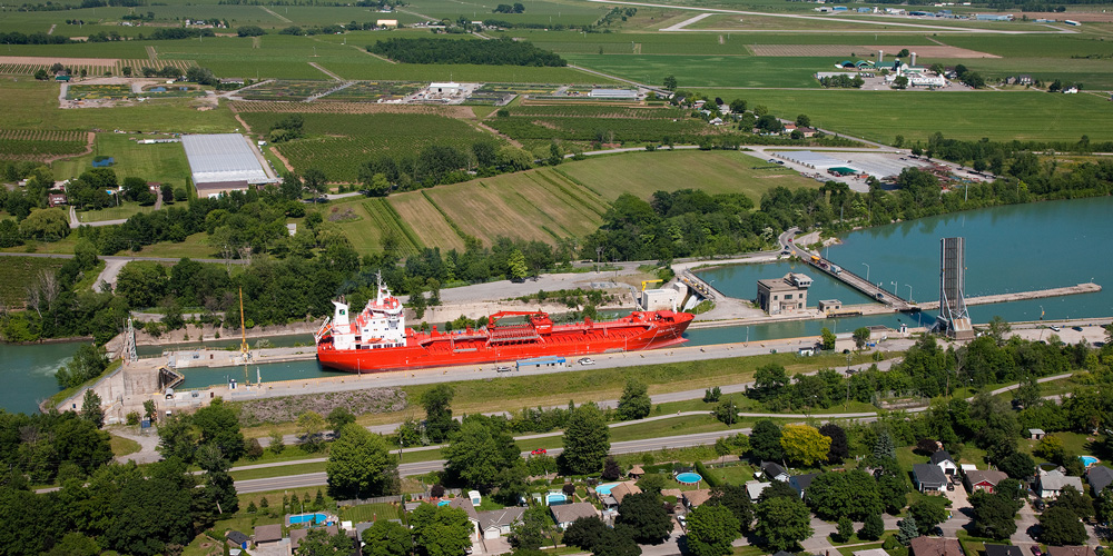
The St. Lawrence Seaway is a vital link in one of the major inland waterways in the world, connecting inland ports in the United States and Canada on the Great Lakes to the Atlantic Ocean through the St. Lawrence River. Shipping on the Seaway is limited by the draught and size of the ships that can traverse the canals and locks. The safety of navigation on the St. Lawrence Seaway is increased by providing the mariner with better information about under-keel clearance as they make maximum use of the available water column.
The St Lawrence Seaway Management and Development Corporations (The St Lawrence Seaway) in cooperation with the shipping industry are developing a Draught Information System to increase the safety of navigation by providing the mariner with better information about under-keel clearance. High resolution bathymetry combined with current water level measurements and information about ship dynamics allow for under keel conditions to be predicted ahead of the motion of a vessel. Studies have been completed on the behaviour of different classes of vessels with respect to “Squat” (the lowering of a moving vessel in water due to fluid dynamic effects).
The Implementation Specification for a Draught Information System has been developed and is now available to the public. This document is available via the following link:
Implementation Specification — a Draught Information System for the St. Lawrence Seaway